Valley
Traversa del Campo
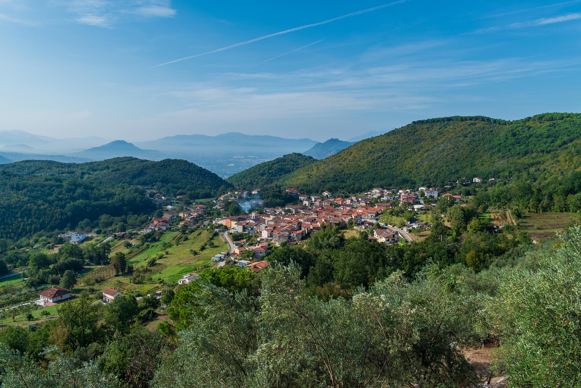
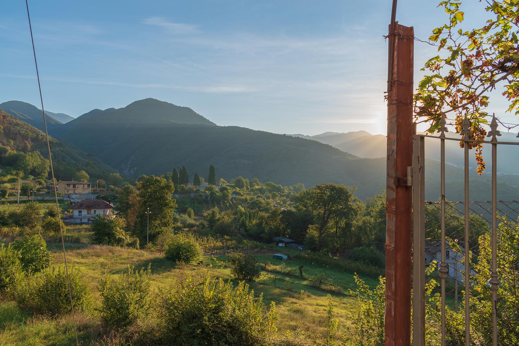
The valley of Mount Cifalco rises at 1214 feet above sea level, about 1.5 miles North of Sant’Elia Fiumerapido and covers an area of about 197.69 acres. It was formed in the ice ages, it is connected on the North-East side with a river valley which gradually decreases its height and leads to the water spring called “Campo”. The valley, once completely covered with woods, is enclosed by various hills (Montelungo, Mandre, Carpine, Campopiano e Castello) which hide it from the other cities. It ends in the South-East side in the locality of Santa Maria Maggiore, in the South side in the Pedrosa zone, while in the South-West of the residential area there’s the wood of Colsalera and in the East there are the Vigne and Ortorosso zones1.
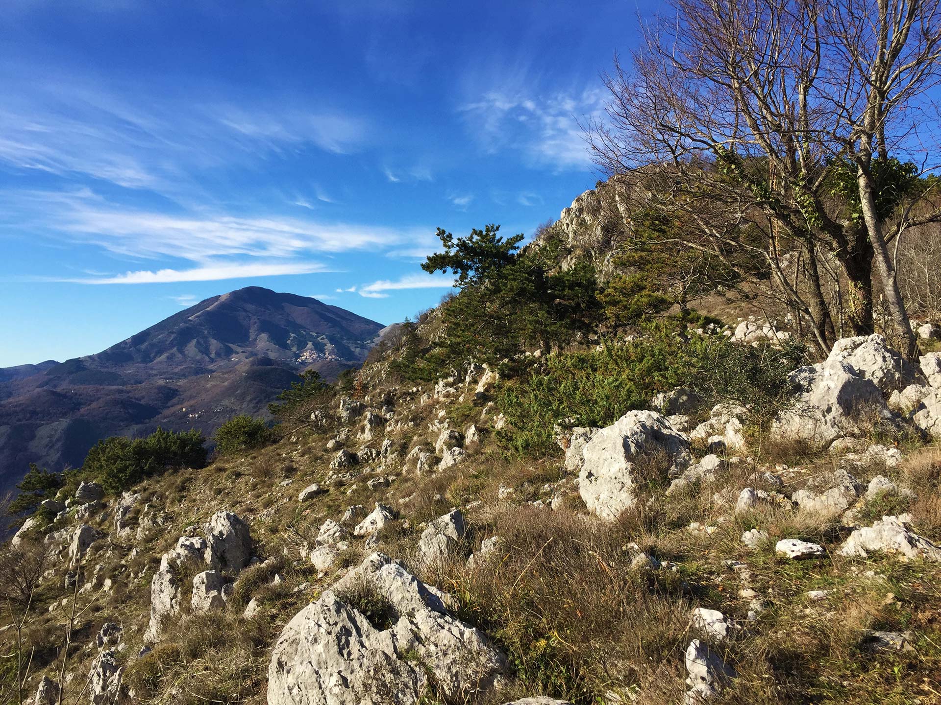
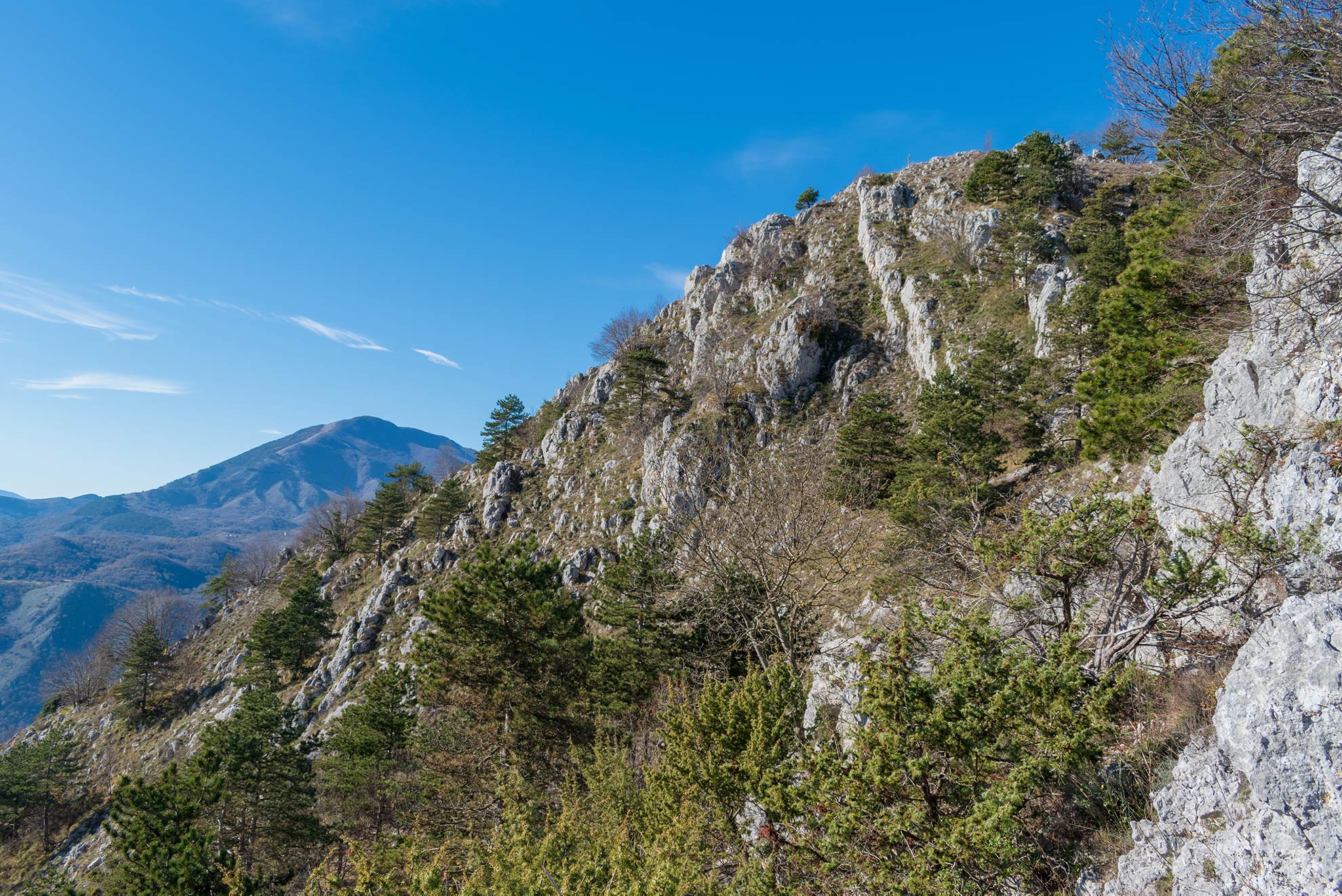
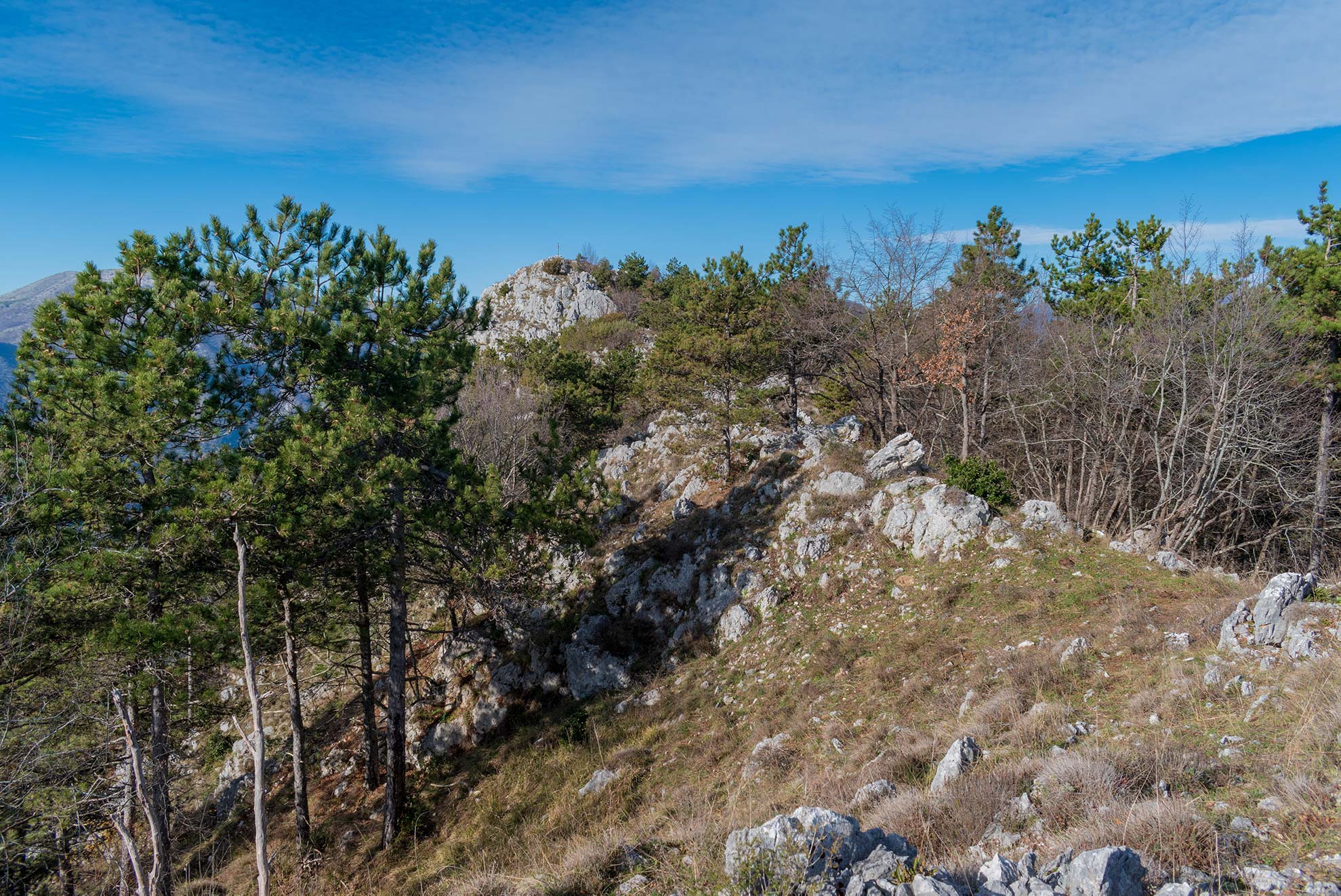
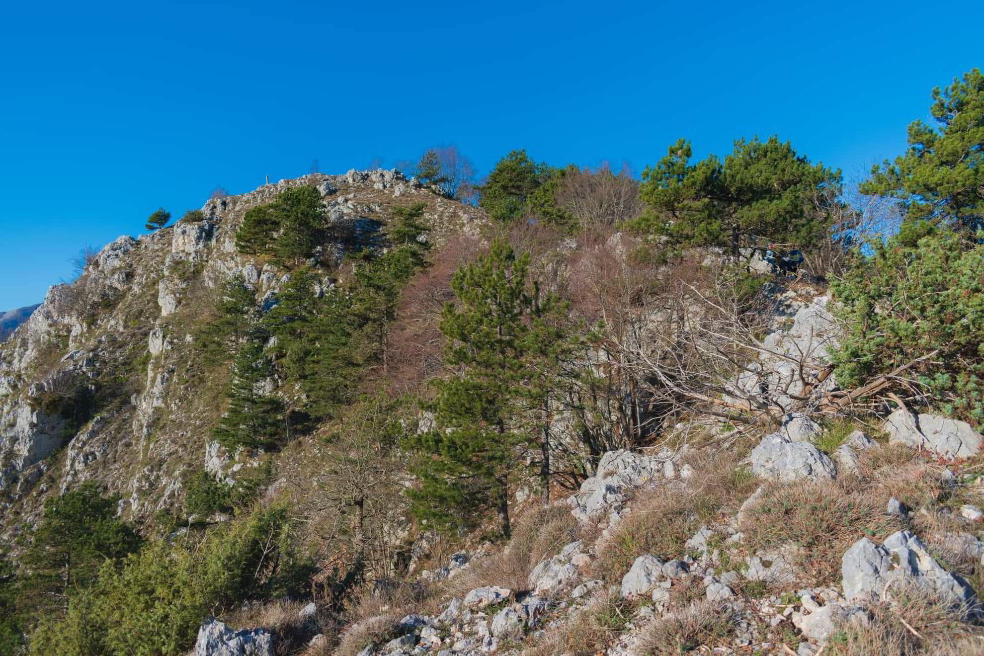
Mount Cifalco is the mountain overlooking the valley, its highest peak reaches 3107 feet of height and is flanked by a series of rounded lower peaks that give it an undulating appearance. Its slopes are covered with woods of deciduous and evergreen trees, such as oak, holm oak, pine, fir and cypress. In the lower part of the mountain there are olive trees growing on a series of terraces. On the back of the mountain at 2166 feet of altitude there’s the little town of Cese and forwards to the back side of the mountain stands a dam, connected with the hydroelectric power plant of Olivella. Along the course of History, this mountain was the place of prayer of the hermit Saint Bartholomew the Younger, a disciple of Saint Nilus the Younger and much later it was the observation point of the German armies during the Second World War.
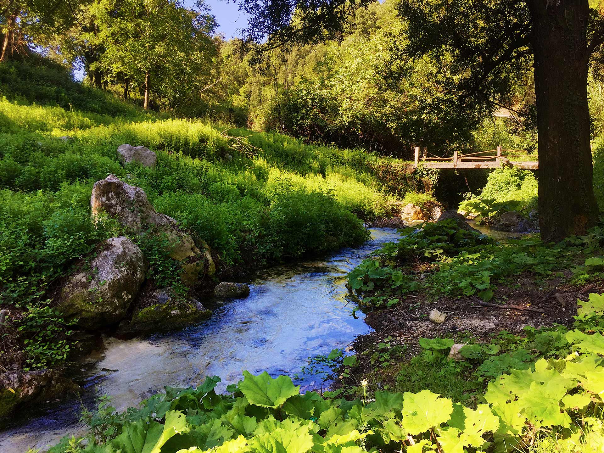
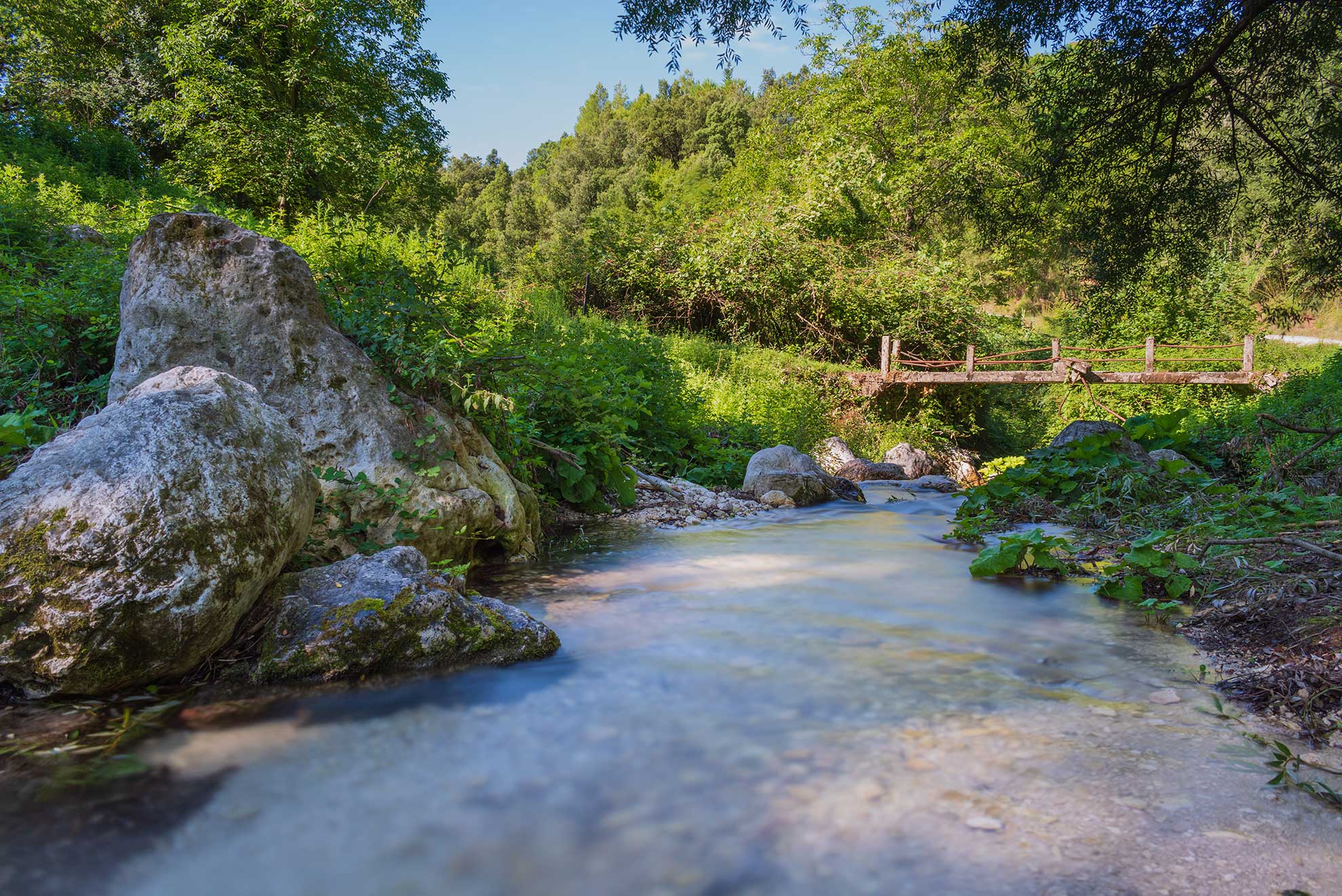
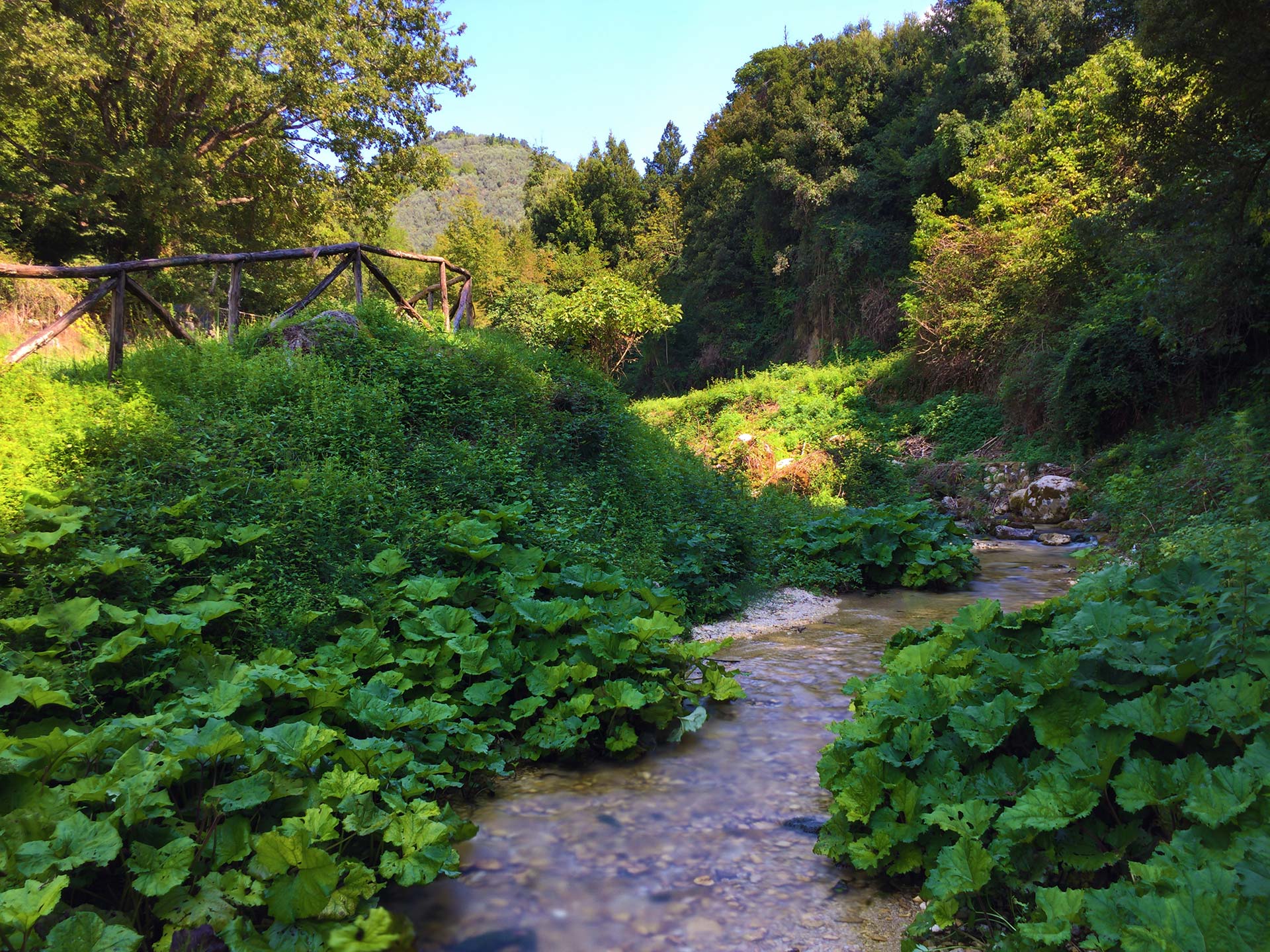
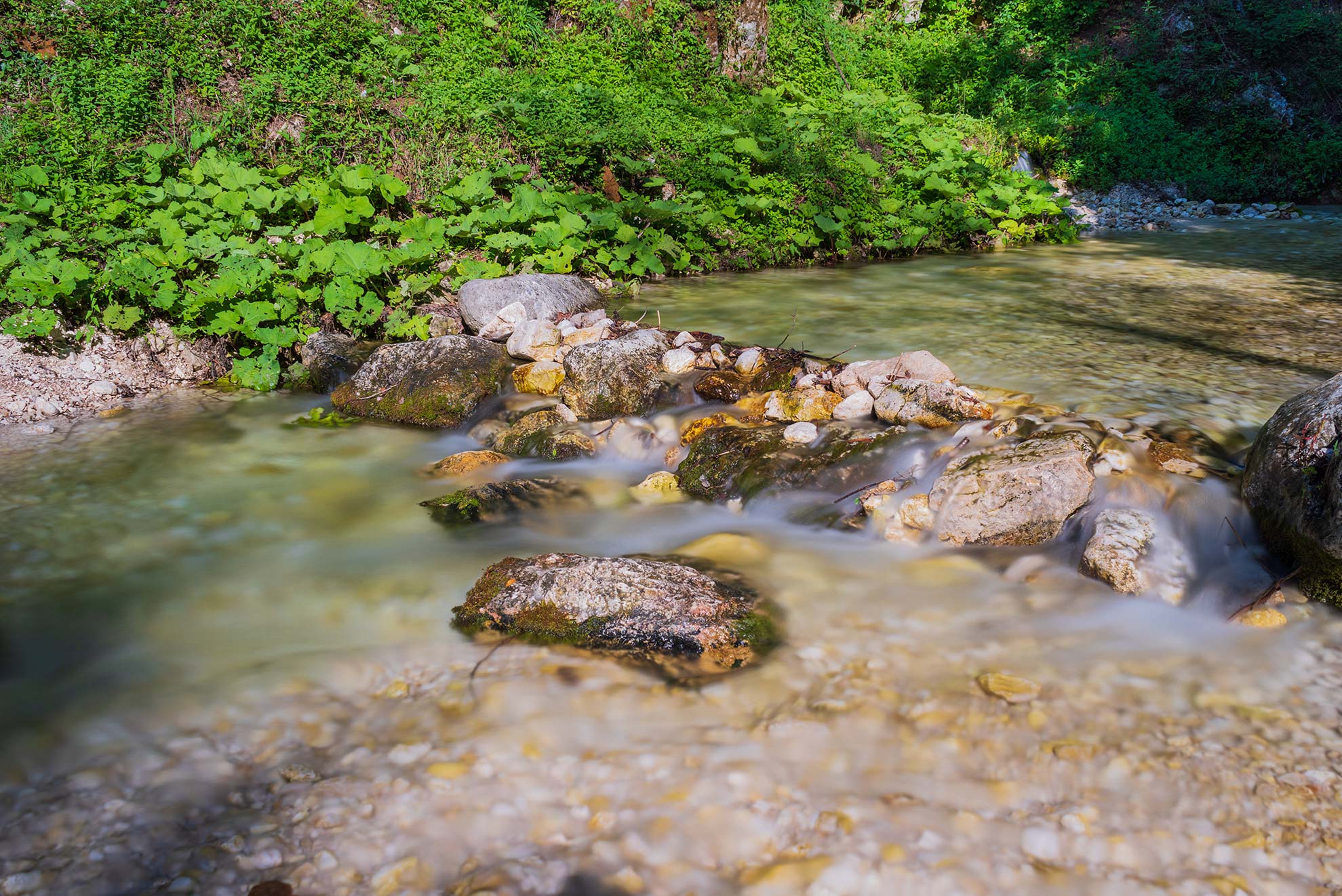
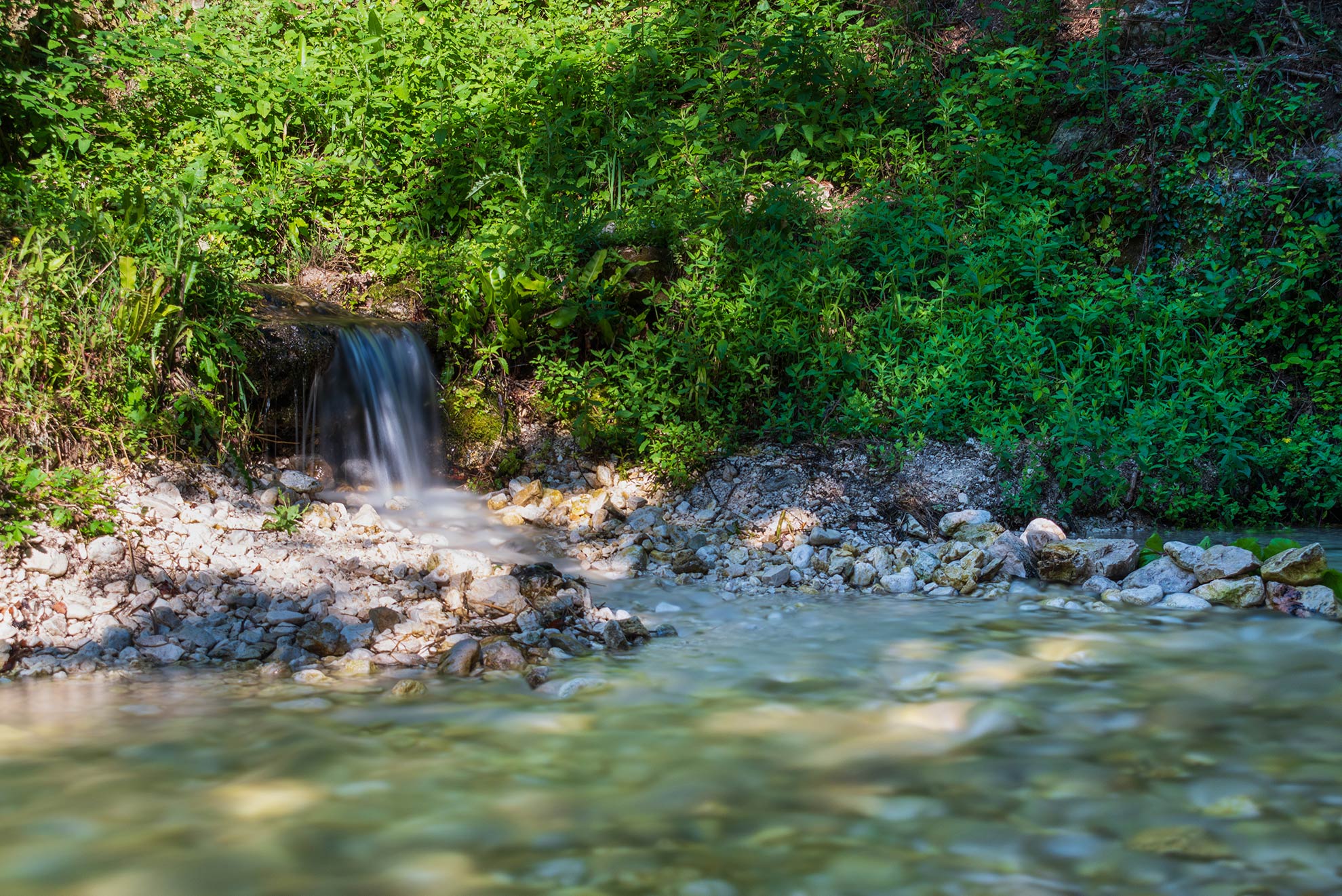
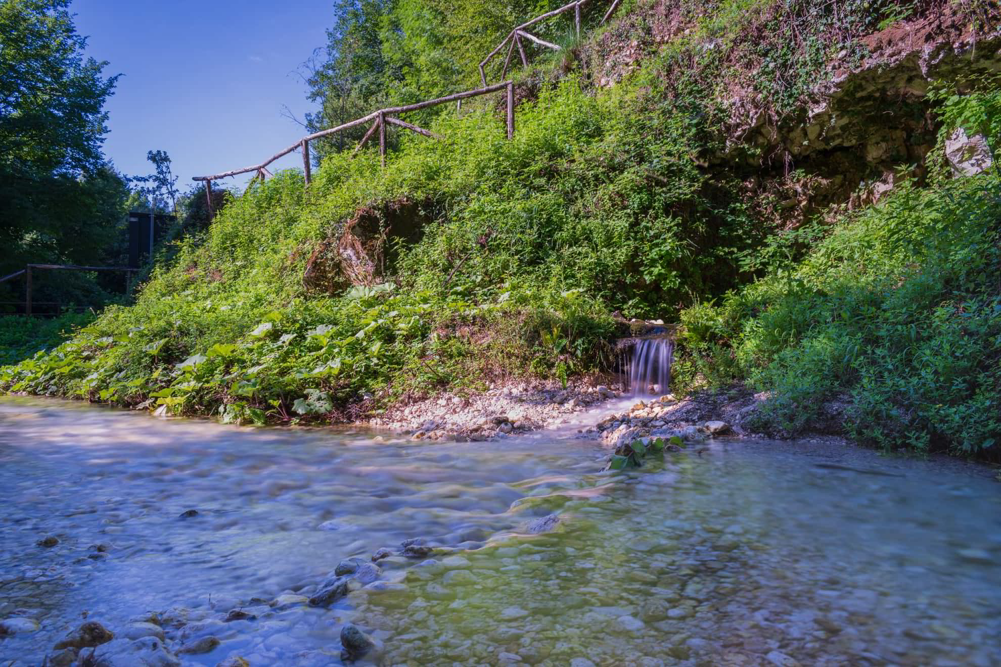
The water spring of Valleluce is located at 1129 feet of altitude, at 0.63 miles away from the intersection of Via del Campo with Via San Bartolomeo and Via dell’Acquedotto Romano. Here originates the Valleluce brook, one the tributaries of the Rapido river, which descends to the lower valley crossing the woods and the locality of Santa Maria Maggiore. It reaches the main river in the Cartiera zone in Sant’Elia Fiumerapido. Once the spring included the waters of Vaccareccia, that’s why in the past it was called “Rio Vaccareccia”. The brook of Campo has always had a fundamental role for the inhabitants of Valleluce; it even provided water for the conduct of the Roman Aqueduct in the 1st century AD and for the mills built on its banks in the 18th century.
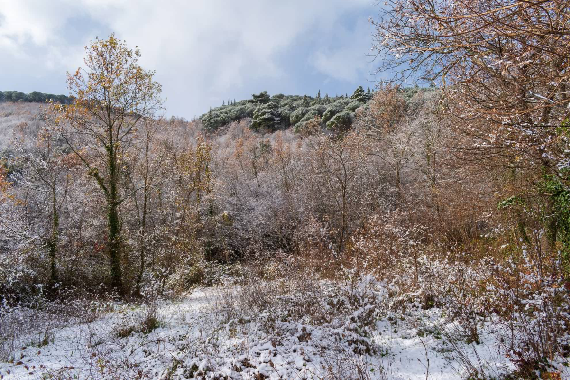
Valleluce usually has kind of a mild temperature throughout the seasons. Thanks to Mount Cifalco and the surrounding hills, the valley is protected in the North side from the cold air currents of Tramontane, in the North-West side from the gusts of Mistral and in the South side from the gales of Ostro2. Compared to the neighbouring localities, the temperature in Valleluce has a difference, ranging from 37.4 to about 41 °F. In the cold seasons the air in the valley remains clear, while the Cassinate valley remains completely covered by the morning fog until the first hours of the afternoon. In the winter, snow, rarely falls and days are often sunny with a lukewarm temperature, while in the summer the heat is more subdued and the evenings are pleasantly cool.
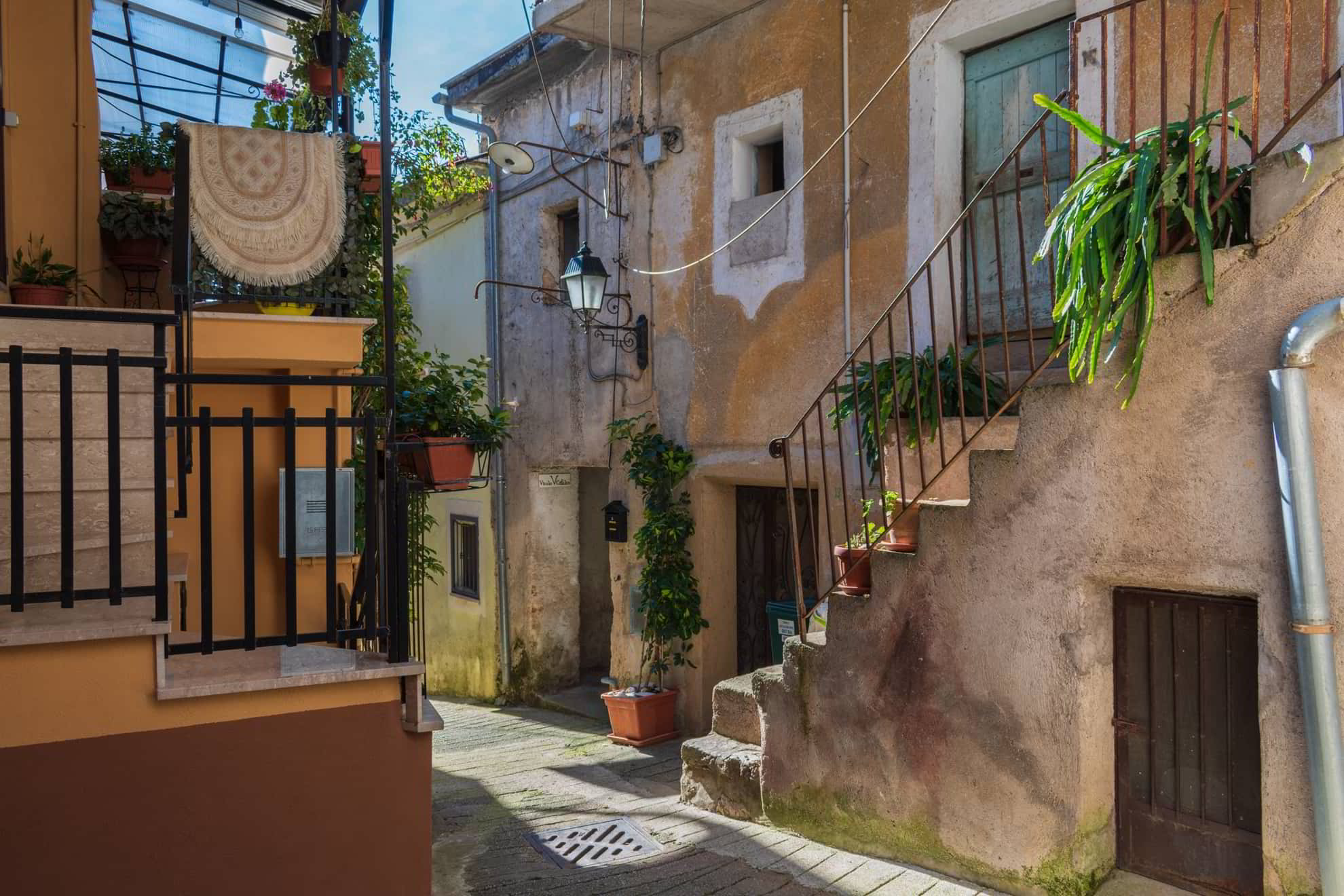
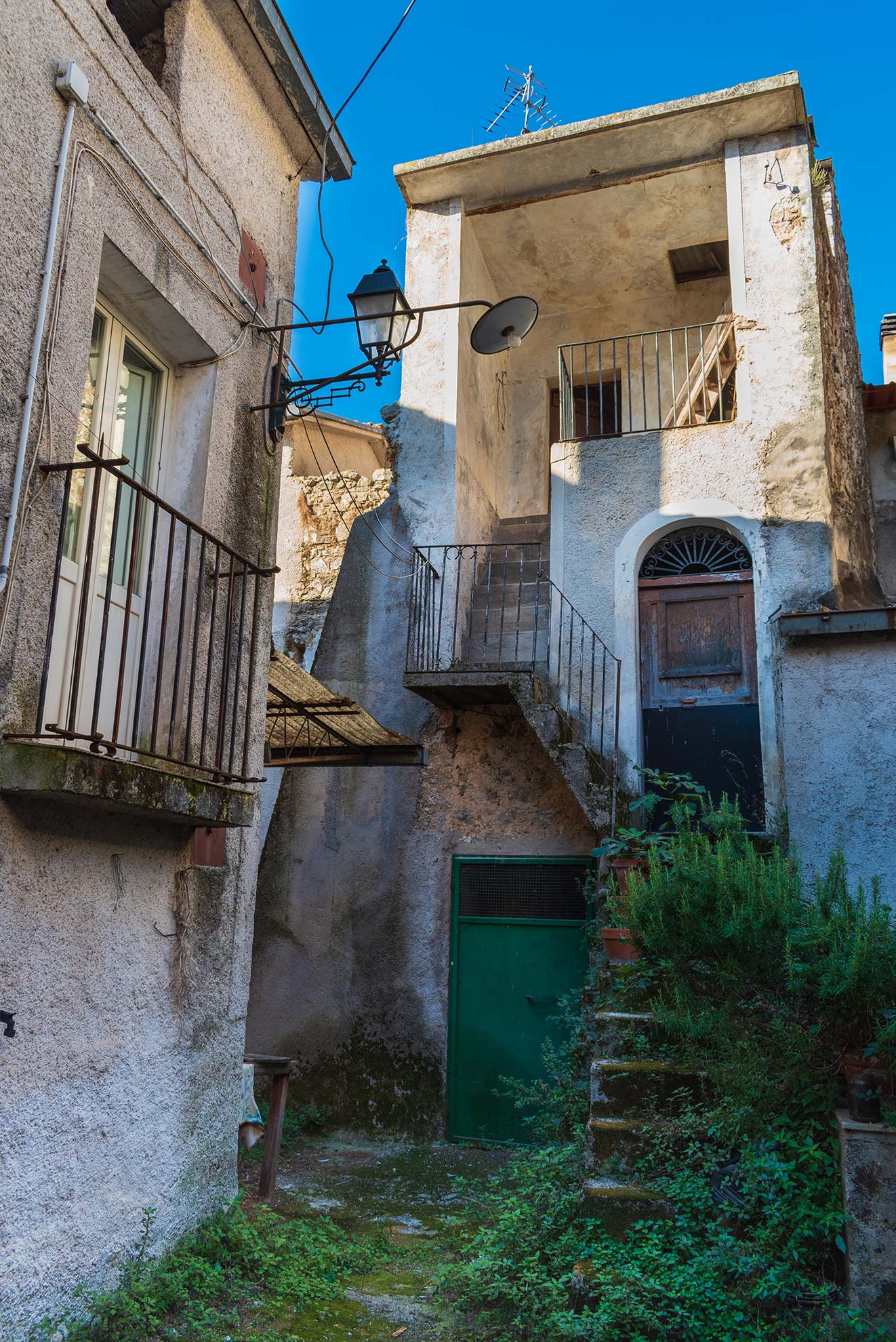
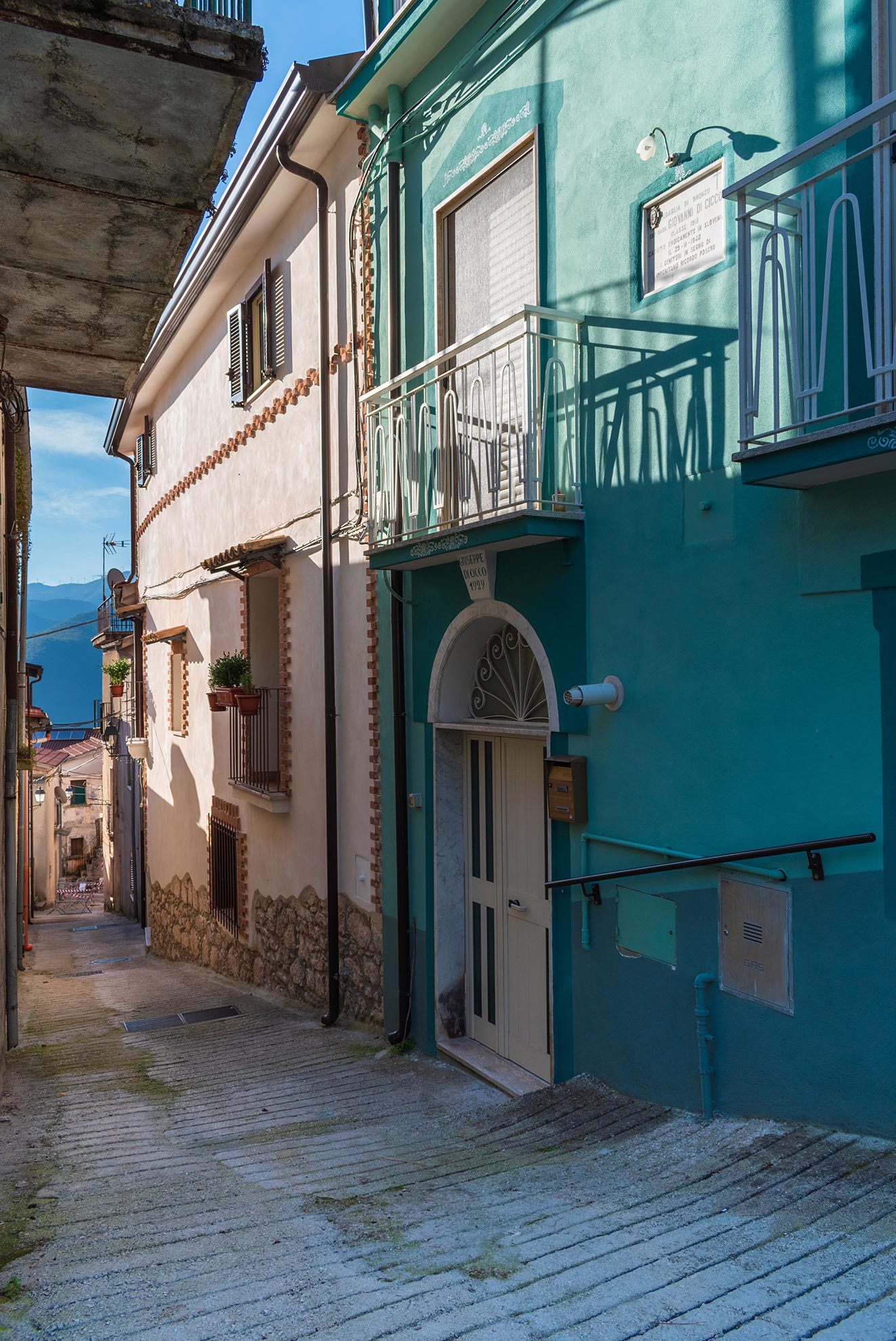
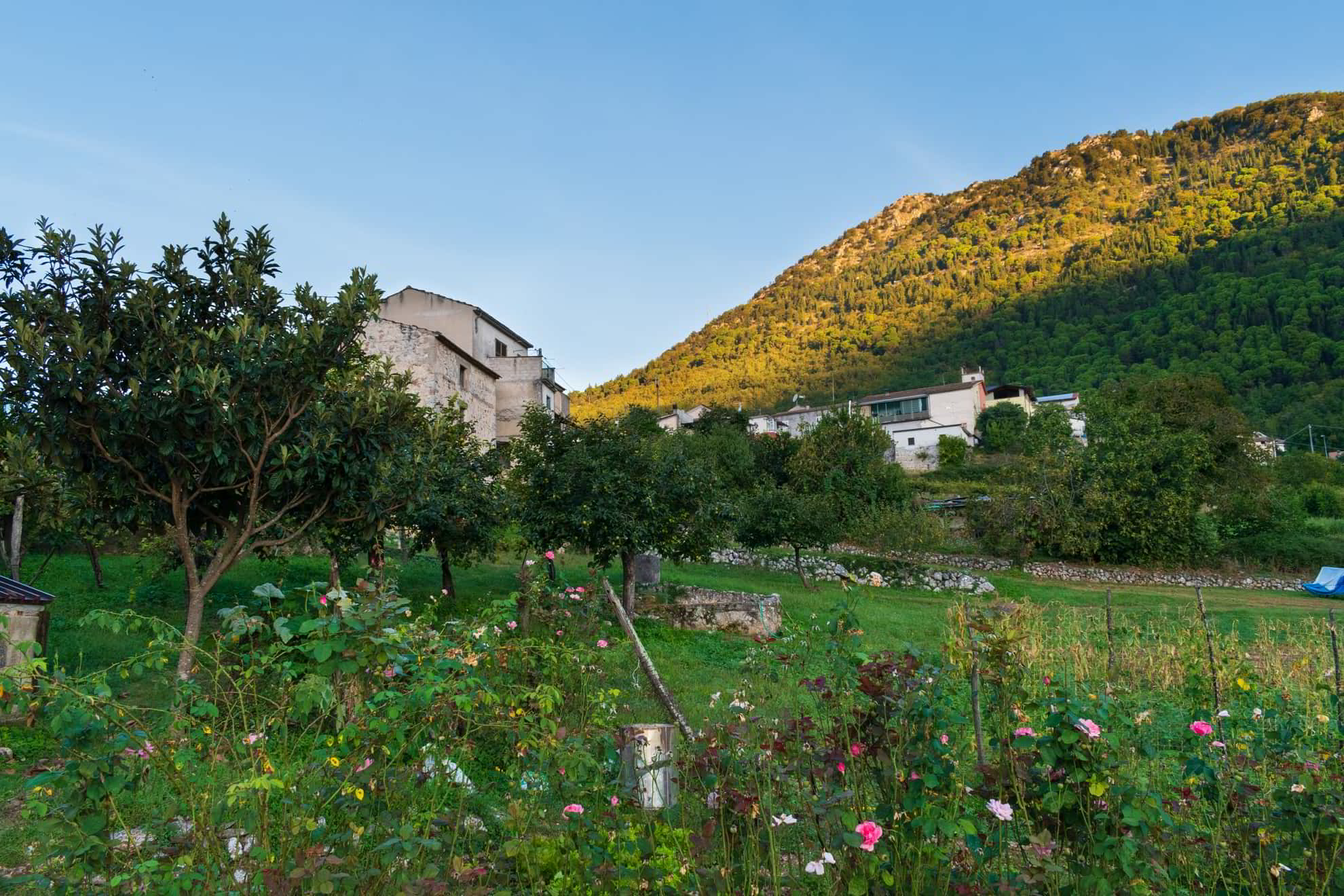
The village is located on an upland below Mount Cifalco, on the North-West side of the valley. The main residential area extends mainly along the West side up to the entrance of the valley on the South side. The various districts, scattered throughout the vale, are flanked by uncultivated areas, vegetables gardens, little woods and vineyards. At the center of the village, the old buildings are mixed with the new ones, along the numerous alleys. Most structures get restored or rebuilt up to this day, still the village has kept its general shape almost completely unvaried. The name “Valleluce” comes from the latin words Vallis Luci, which means “valley of woods”3. The lucus was the sacred grove dedicated to the Roman divinities, in which there were celebrated festivals and pagan rituals4.